
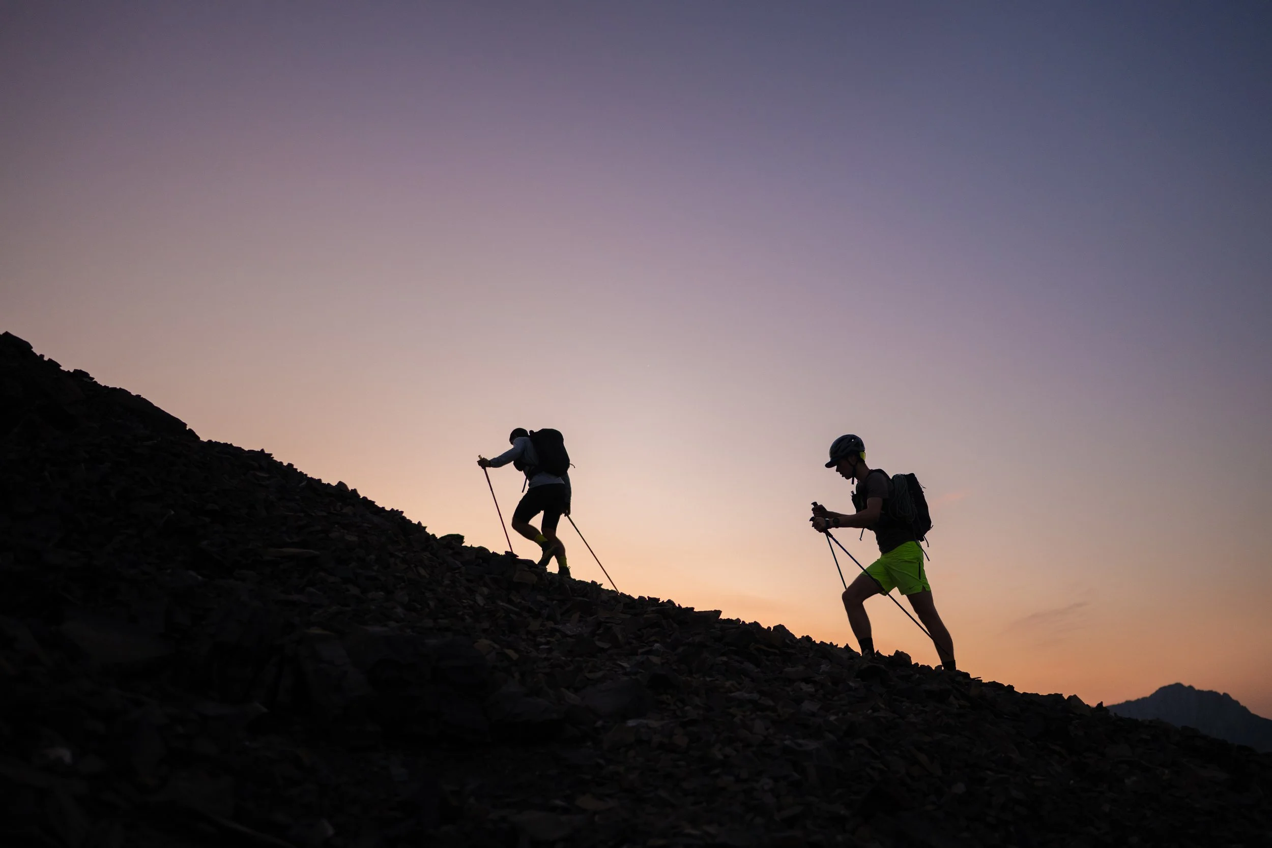
Grotto Mountain Traverse
Difficulty: Challenging
Distance: 10.3 km
Elevation Gain: 1435 m
Parking: Rat's Nest Cave, Cougar Creek Trailhead
Combine With: Horseshoe, Montane
Download GPX File
Extend your Run
For many, the Grotto Traverse will be plenty to fill your day. If you’re still not tired however, there are plenty of trails on the lower part of the mountain to explore.
Local Tips
The traverse is typically done from east to west, but can be done in either direction. If you’re not familiar with the lower Grotto Mountain trail network, it’s a good idea to download the map onto your phone ahead of time. Many people have gotten lost on the web of informal and game trails at the end of this traverse.
On the ascent up the East Ridge (also known as Carter Buttress) trail, there are a few climbers trails that branch off from the main trail on both the left and right hand sides. There is one prominent fork approximately 50 metres after a large flat spot with a rock cairn; the left fork climb’s steeply up to the ŞäÅĢÁ rock climbing crag, whereas the hiking trail continues wrapping around to the right. Stay right here, which will take you into and along the canyon.
If descending via the West Ridge trail as indicated by this route, take care to stay far right toward the cliff edge. Going too far left at the blue trail markers will put you on the ACC descent trail, which will take you down but via an arguably less aesthetic/enjoyable route. Lower down it’s easy to get suckered into other trails that go skier’s left, but most of these dead end and leave you wandering around in the bushes trying to find your way back to the main trail.
There are two cliff bands that you have to navigate on descent via the West Ridge. As always, keeping right is the best option to find the least technical way through. If you find the easiest path, there should never be more than a move or two requiring use of hands. If you find yourself in scrambling terrain, it’s often a good idea to trace your steps back uphill until you find the trail again. Do not try to continue forcing the route downhill.
Unfortunately due to the Graymont quarry, there is no trail connecting one end of the traverse to the other. In order to return to your vehicle, you will need to run the road. Better options are to stash a bike or a second vehicle, as there is a significant amount of large trucking on this stretch of road. Perhaps an even better option is to reverse the route and go back up and over the mountain for a full value, 2800+ m day.